
Overview
The map is used throughout the platform for making management decisions such as calculating break fence areas, communicating where to spread fertiliser, or for measuring pasture covers with satellites.
To draw or import paddocks, navigate to the Map page in the menu. This page is used for creating and editing paddock maps. The Dashboard map is used for setting temporary break fences and recording grazing activities.
Drawing
If you don't have a suitable file for import, don't worry - often it's just as quick or easy to draw your paddocks into Pasture.io
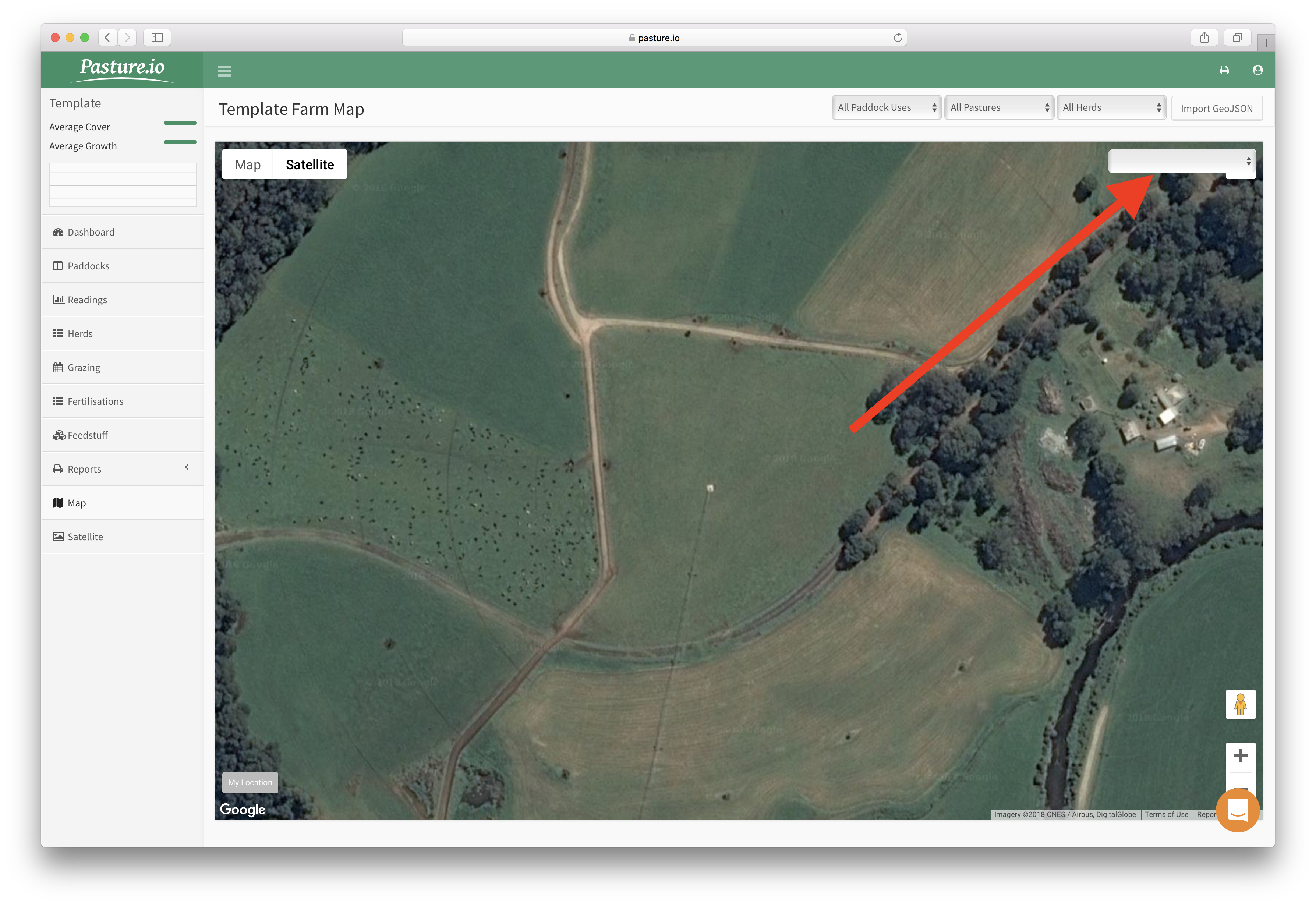
- Select the paddock to draw in the top right corner of the map.
2. Once the paddock is selected, the draw tool will display in the top centre of the map - select it and then use your left click to add fence posts.
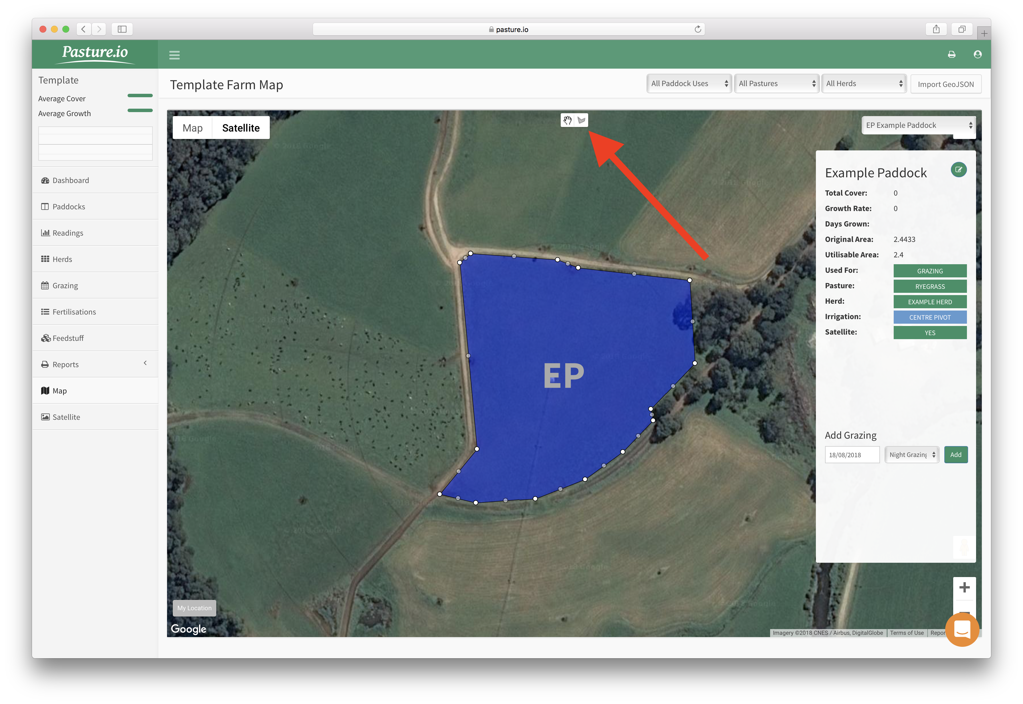
2.2 If you make a mistake, don't worry, just finish the paddock and then click and drag the white fence posts to move them to the correct position or right click on the fence posts to delete them.
2.2 If the original area hasn't updated, click and drag a white fence post and drop somewhere, then click and drag back into position. Or you could try reloading the web page.
Importing
If you have a GeoJSON map file of your paddocks, you can import. Alternatively, you may be able to convert the file.
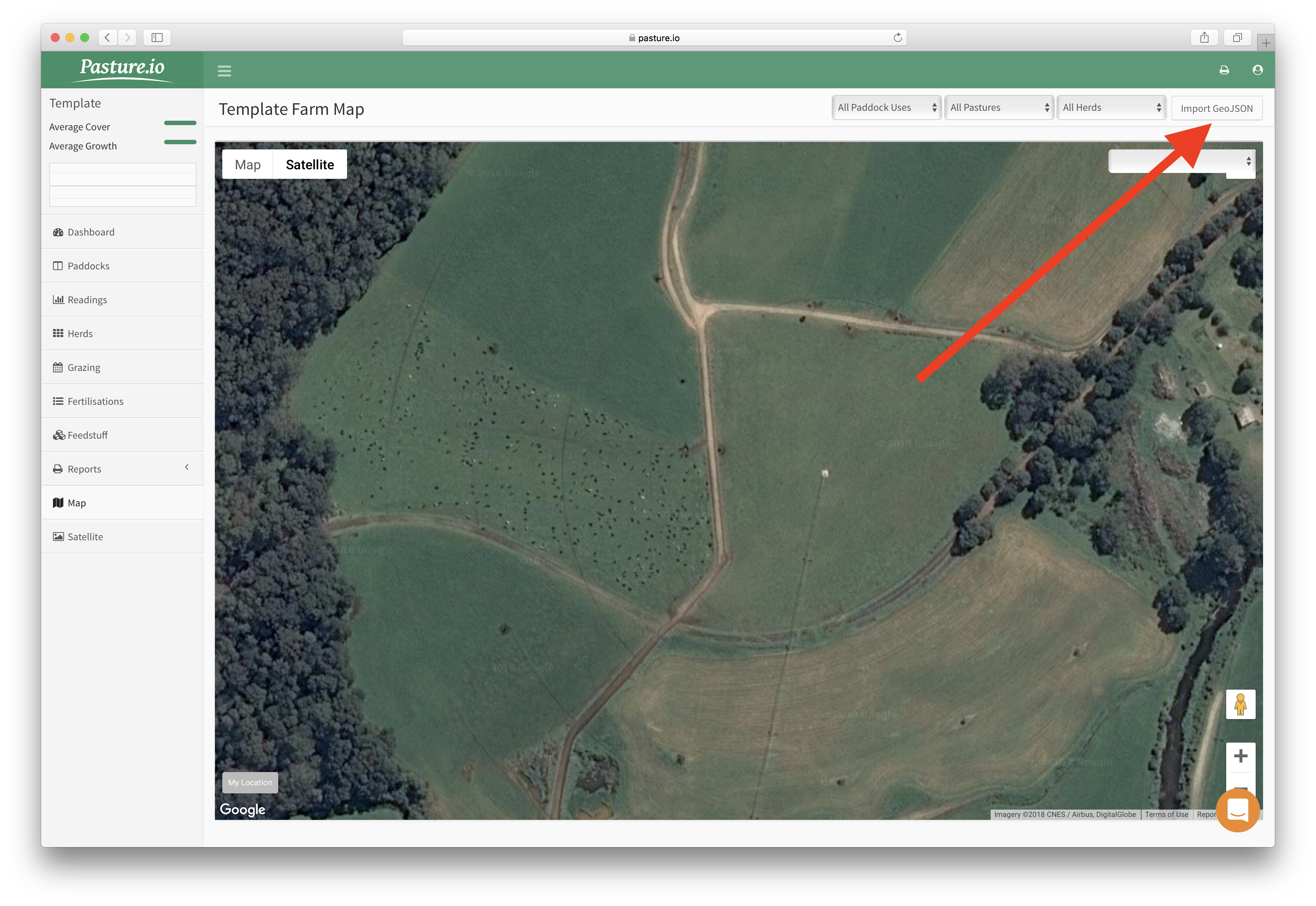
- Click the Import GeoJSON button on the top right.
2. Find and select your paddock GeoJSON file and then import.
3. The paddocks will load onto the page, select a paddock on the map and then find its paddock name in the dropdown box in the top right. Once the paddock is selected, click save.
4. Repeat step 3. for each paddock. If you leave this page without assigning paddock names, the paddocks will be removed from the map and you will have to import the file again.